Get more knowledge about GeoServices through our brochure or for a live demo

Smart GeoServices Platform

This platform combines both spatial data management and big data technology to achieve faster real-time processing of geolocation operations.

Smartera has utilized Spatial Hadoop layers on top of Hadoop big data to build this platform.

The platform provides the following features:

  • Real time streaming from IoT tracking devices,
  • Create positive (inclusive) and negative (exclusive) geofences through visual editor,
  • Detecting objects real-time location within geofences,
  • Trigger notifications, alerts, and workflows based on objects locations,
  • Construct custom maps, routes, directions, speed restrictions, etc.
  • Integration with various devices like mobile apps, GPS devices and other IoT devices

Included Products

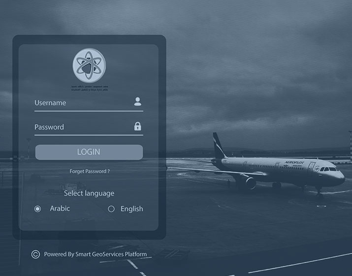
ATOMS is a full solution for managing moving objects at airport ground like vehicles, aircraft, etc. for better and smart operations like order management, security monitoring, etc.

LEARN MORE

ATOMS

ATOMS

Entrust full-cycle implementation of your software product to our experienced BAs, UI/UX designers, developers.

LEARN MORE

Vehicle Tracking

Vehicle Tracking

Entrust full-cycle implementation of your software product to our experienced BAs, UI/UX designers, developers.

LEARN MORE

Renca

Renca